Beschrijving
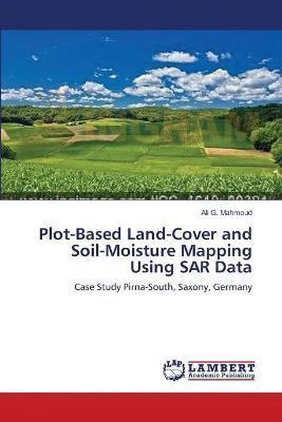
Agricultural production becomes increasingly important as the world demand increases. Monitoring of crop species and soil moisture greatly assists agricultural management. The current study results in a software model, which conveniently extracts agricultural land cover from radar imagery. Based on the same data, soil-moisture, a key parameter of plant growth, can be assessed. Synthetic Aperture Radar data (TerraSAR-X and ALOS PALSAR) have been used. One principal key to information extraction is multi-direction/multi-distance texture analysis on a plot basis. Resulting sets of texture measures are stored in attribute tables. The subsequent classification imbeds elaborate approaches of the \